Toward a Stratified Phase Plan for Sigiriya, Sri Lanka
Toward a Stratified Phase Plan for Sigiriya, Sri Lanka
Deven Patel, Associate Professor, South Asia Studies
Pushkar Sohoni, Librarian, South Asia Studies, Penn Libraries
An important World Heritage Site in Sri Lanka, the ancient city of Sigiriya has been interpreted as a 5th-century landscape architectural site. Adding to Sigiriya's already dramatic setting of wild-elephant jungles and small rice-cultivating villages with their constructed tanks or man-made lakes, archaeological surveys and excavation from the mid-20th century have revealed brick and stone building layers, including watercourses and fountains as well as strategically placed boulders with constructed pathways and steps.
Rising 200 meters vertically from the flat plains is Sigiriya Rock, also known as Lions Rock, which sits at the center of this partially excavated built landscape. Lions Rock contains ruined building foundations, paintings, sculptural and architectural details, and a well-developed system to channel harvested rainwater throughout the constructed landscape. Despite international attention, Sigiriya remains mysterious, its design and construction history subjected to varying interpretations.
Taking a reception approach to the landscape may reveal more about its early architectural and cultural significance. One important site feature is a long polished wall upon which visitors from c. 7th to 13th centuries etched their responses to the site. About 1800 visitor responses have been recorded. To unpack Sigiriya’s layers and understand this significant visitor response however, we must better understand the site’s landscape plan, specifically its phases of construction, changes over time, and relationships to other significant built landscapes in the region.
Researchers in this project will use GIS technology and drawing software to develop digital site plans from existing hand-drawn plans, sections, and surveys, incorporating into the digital model all available information about phases of construction from existing archeological data. This project aims to contribute new digital and spatial approaches to long-standing interpretations of the vast archaeological records indicating constructed landscape in Sri Lanka and South Asia.
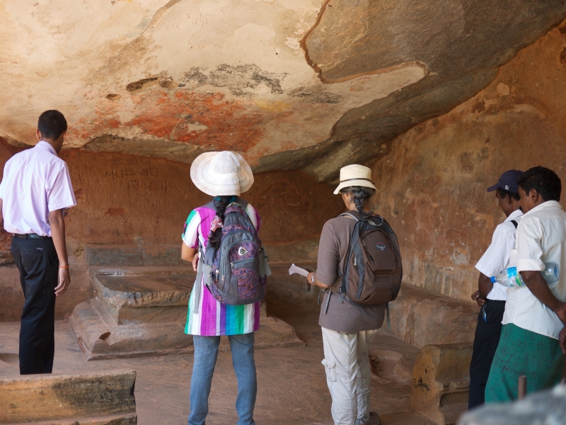
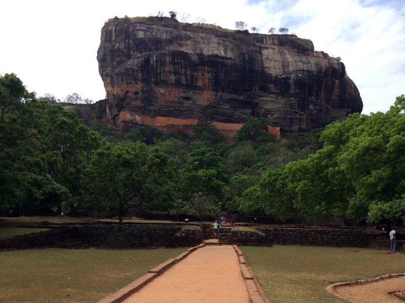
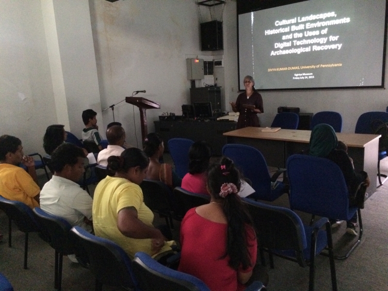
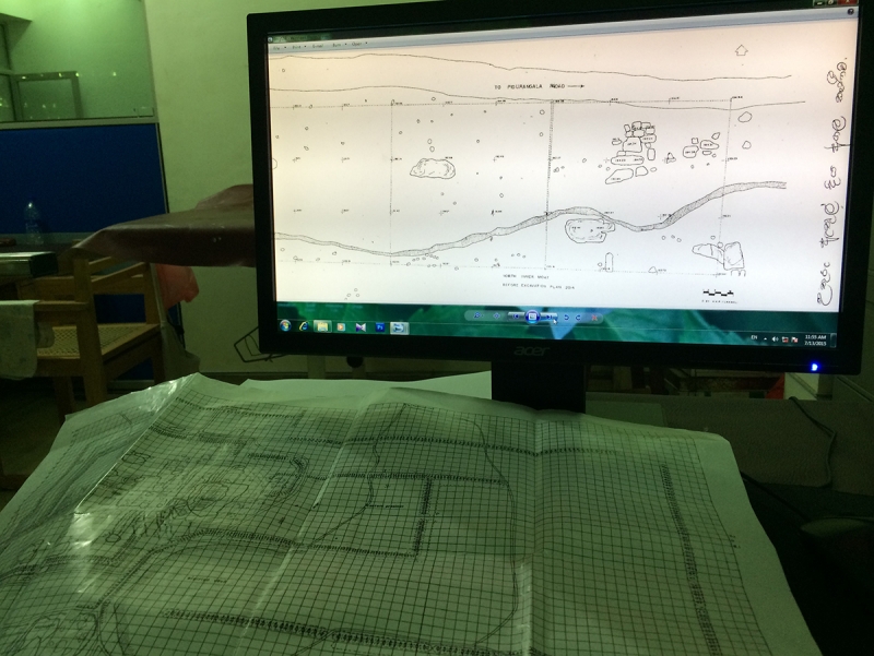
Images top to bottom: Field exploration; View of Sigiriya Rock from Western Entrance; Presentation in Sigiriya Museum, July 24, 2015; Sorting through existing drawings and scans in Drawing Section of Sigiriya Research Centre, Sigiriya Museum.